


Eurosat brings real-time satellite imagery from Eumetsat to your mobile phone at a glance.
EUMETSAT is a global operational satellite agency at the heart of Europe, providing high quality satellite data mainly for weather forecasting and earth observation purposes.
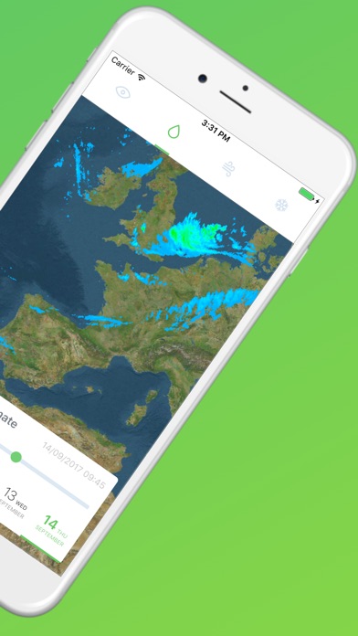
With Eurosat you can access new imagery every 15 minutes for visualized products like MPE (Multi-sensor precipitation estimate) but also to RGB Composites like Airmass. The four maps available in this app are:
- Natural Colour RGB: makes use of three solar channels: NIR1.6, VIS0.8 and VIS0.6.
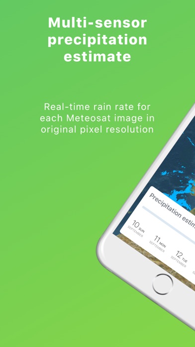
- Multi-sensor precipitation estimate: near-real-time rain rates in mm/hr for each Meteosat image in original pixel resolution, suitable for operational weather forecasting in areas with poor or no radar coverage, especially in Africa.
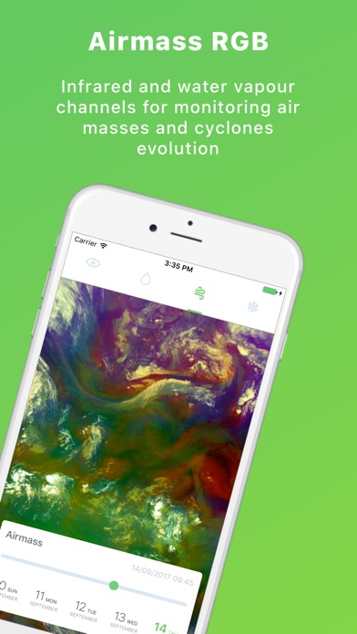
- Airmass: composite imagery based upon data from infrared and water vapour channels from the SEVIRI instrument. It is designed and tuned to monitor the distribution of different air masses and evolution of cyclones, in particular rapid cyclogenesis, jet streaks and PV (potential vorticity) anomalies.
- Snow: fog/low clouds and snow detection during day-time. Snow appears red because of the strong absorption in the NIR1.6 and IR3.9 channels (no green and blue), while fog / low clouds appear whitish.
Imagery available for Europe & Africa.